CONSTRUCTION SERVICES
DON'T GUESS.
MEASURE.
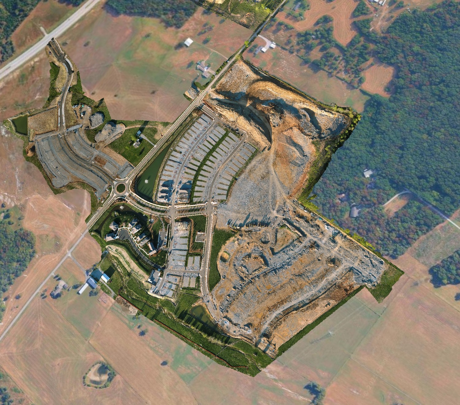
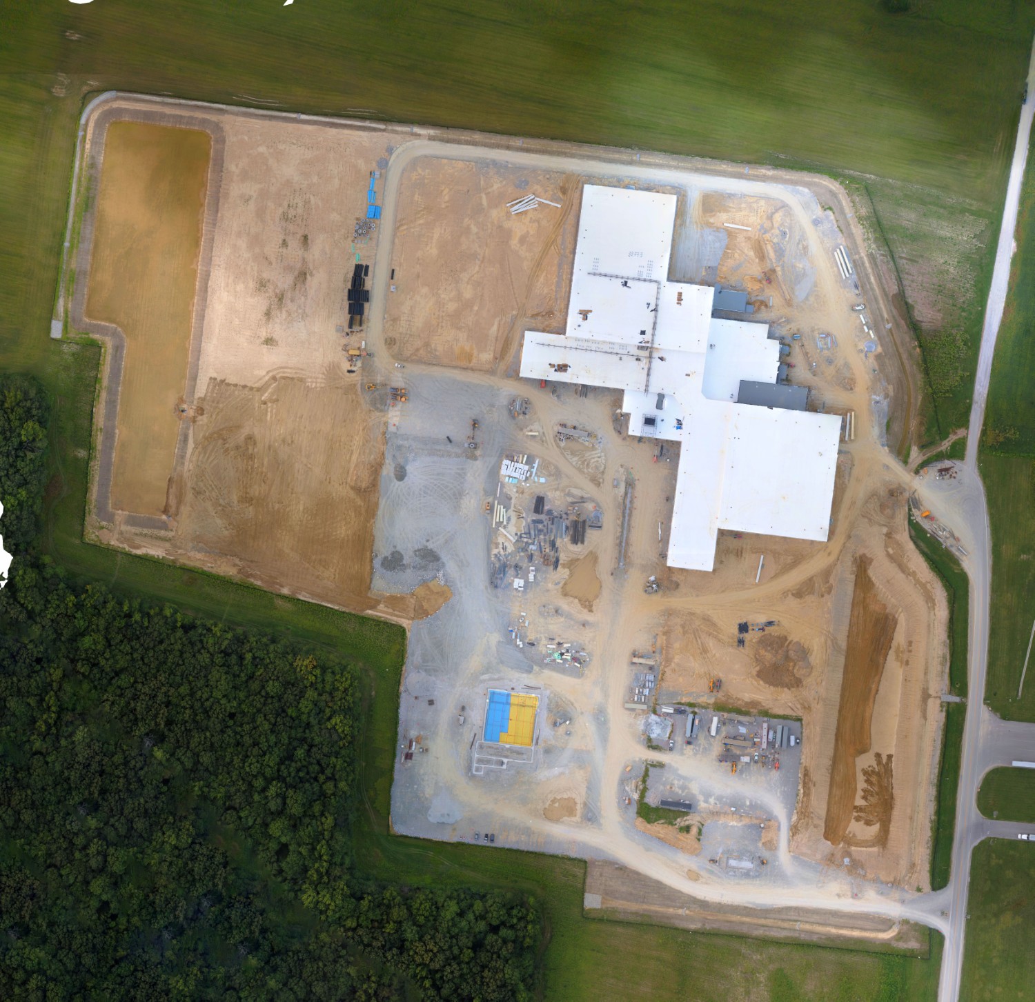
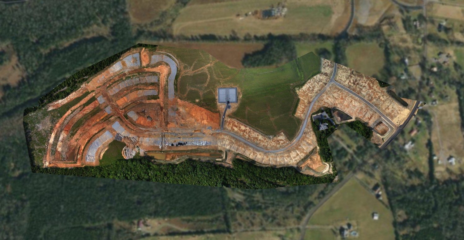
Replace disjointed photos with a complete visual record. Our "digital twin" approach ensures every stakeholder sees the same reality.
2D Site Maps
High-res orthomosaics for logistics & planning.
Volumetrics
Accurate Cut/Fill calculations.